Uganda Land Use Dialogue
Agoro-Agu Landscape, Uganda
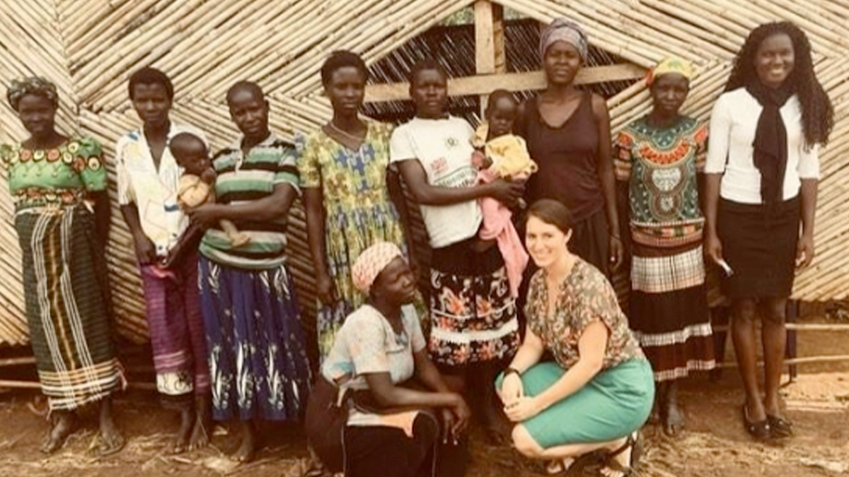
The Agoro Agu Landscape is part of the Achwa River Range of Northern Uganda holding 17 Central Forest Reserves, seven of which are categorized as critical sites for biodiversity conservation. It includes the Agoro Agu Forest, a transboundary protected area with South Sudan which gives the landscape its name. Despite the recognized link between these reserves, community managed forests, forest buffer zones, and the surrounding agricultural lands, current plans are carried out in isolation. Local communities are highly dependent on the landscape, as 91% of local livelihood strategies come from land and forest resources. Local stakeholders are interested in implementing a landscape approach, so that protected areas can provide the cornerstone for natural resource management, contribute to sustainable livelihoods, and support nature-based economic activities such as eco-tourism and sustainable livelihoods.
Through a Land Use Dialogue process, local stakeholders together built a landscape vision to be incorporated into national and community-based natural resource management. Core partners of the LUD process include IUCN,as part of the Stabilizing Land Use Project (PLUS), Agor International Vocational Institute, the Ugandan National Forest Authority, Ugandan Forest Working Group, and the Uganda Wildlife Authority.